
ODE GROUP
Продукт

ODE GROUP
Продукт
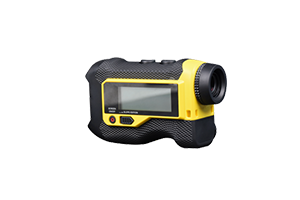
Rangefinder
Quickly and accurately measures distance, area, and volume to assist on-site assessment and rescue planning.
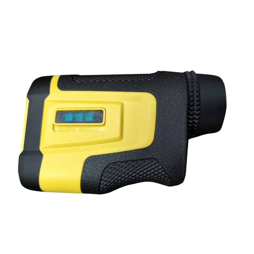
1. Precise measurement of straight-line distances between fire sites, mountains, and obstacles during forest patrol, with a maximum range of 1500 meters 2. Calculation of height differences and inclination angles of slopes, cliffs, and fire lines, judging terrain slope and planning firefighting access routes 3. Monitoring the movement speed of landslides, flying sparks, and falling rocks to predict hazards in advance 4. 7x optical magnification for long-distance observation of fire points, isolation belts, and hidden danger spots in forest areas 5. Collection of terrain data during field fire investigation and fire prevention surveys, used for fire mapping and plan formulation 6. Wide temperature range adaptation to severe cold and high temperatures in mountain forests, lightweight body convenient for rescue personnel to carry
View Details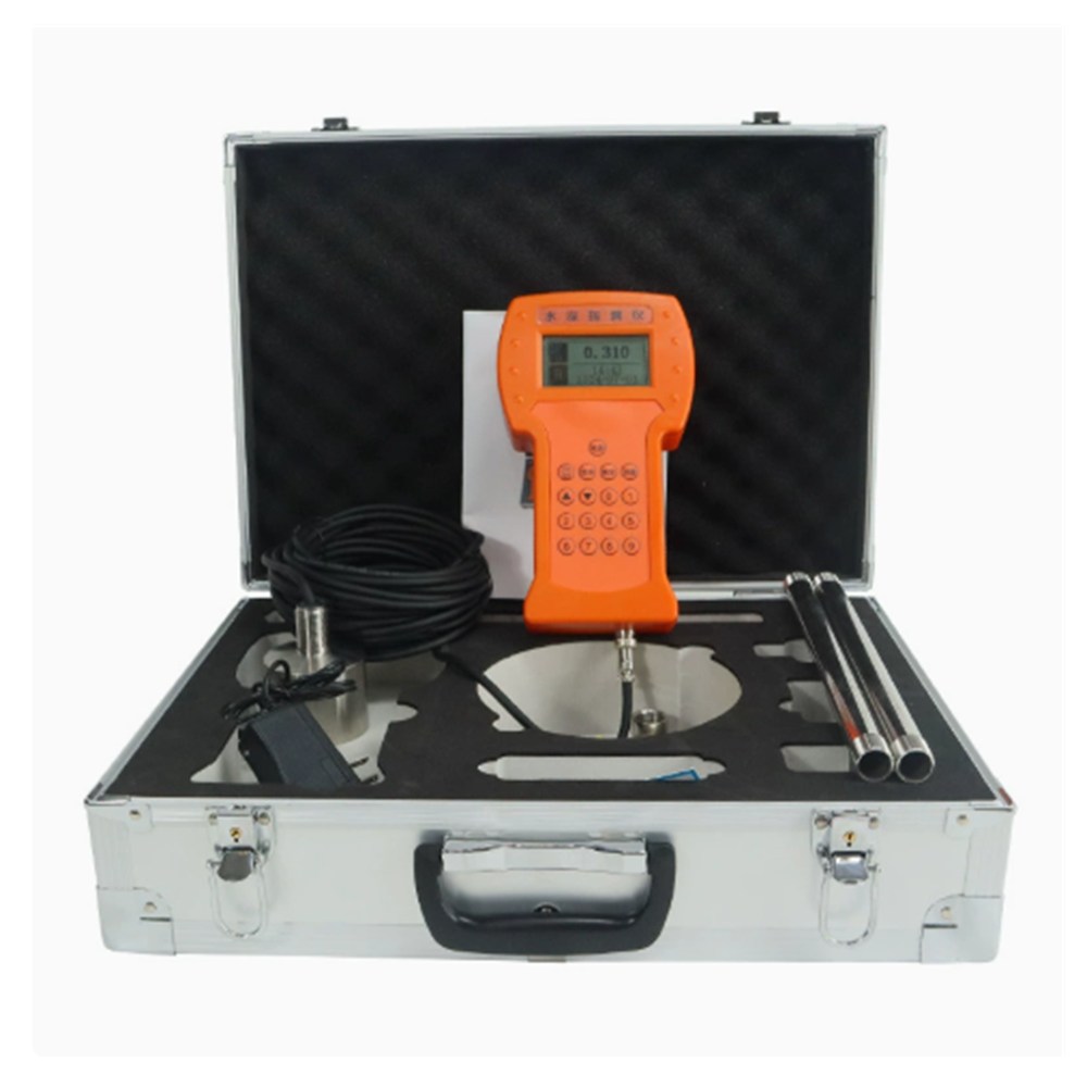
Waterproof Distance and Depth Measuring Instrument
Measures accumulated water depth and calculates rescue distances.
View Details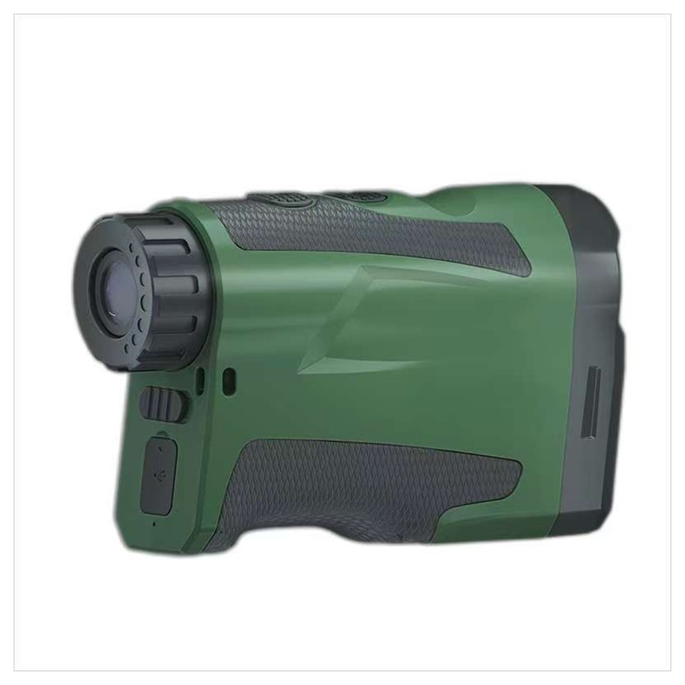
Multifunctional Rangefinder and Altimeter
Surveying distance, height, and slope at rescue sites; measuring positions of dangerous rocks; calculating anchor point heights.
View Details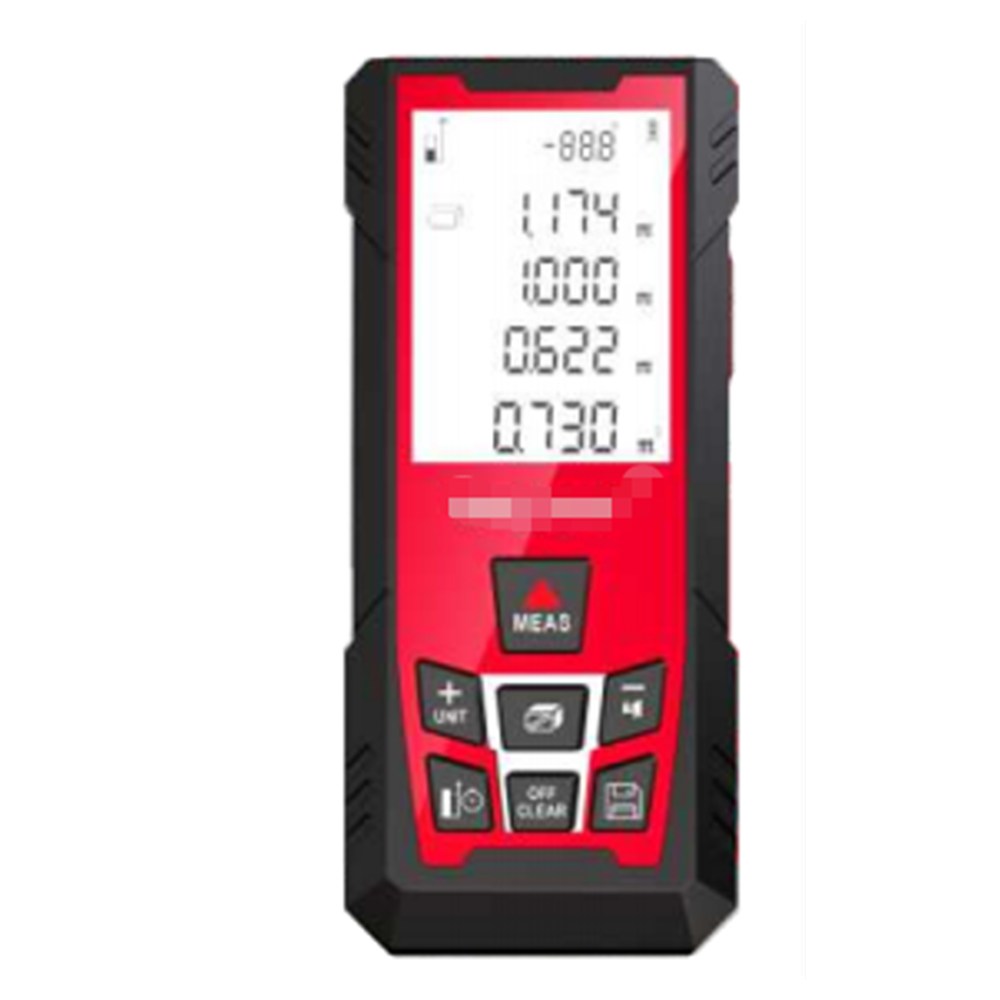
Distance calculation for high-altitude work, height measurement, and safe distance judgment.
View Details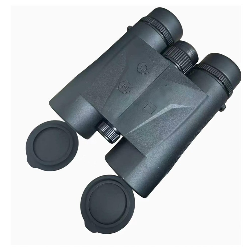
Portable Laser Rangefinder Telescope
Long-range observation and identification of personnel and vehicle targets in desert environments; assessment of rescue distance and terrain.
View Details